NCA Digital History
Mapping Cemeteries
The work highlighted in the videos and maps available from this NCA Digital History webpage were supported by a separate Veterans Legacy Program funding stream than the contracts and grants work highlighted elsewhere on the UCF VLP website.
Dr. Amy Larner Giroux worked part-time as a Digital Historian for the National Cemetery Administration between 2017 and 2021. Dr. Giroux was tasked with testing various technologies for digitizing the physical spaces of our national cemeteries. St. Augustine National Cemetery in Florida was the testing site for 360-cameras, GPS transponders, terrestrial LiDAR scanners, and drones. The use of drones for mapping and 3D modeling was the most time and cost effective and the maps created by Dr. Giroux in the course of her work are linked below.
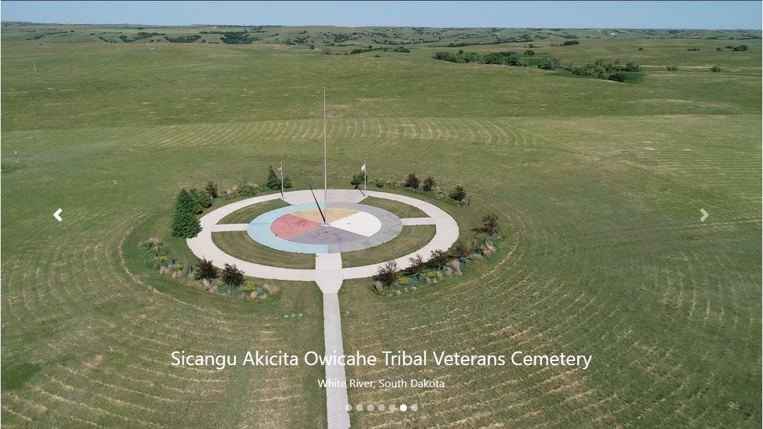
Please select the drone image below to learn about and explore Alexandria National Cemetery (VA), Black Hills National Cemetery (SD), Fort Meade National Cemetery (SD), Hot Springs National Cemetery (SD), Lakota Freedom Veterans Cemetery (SD), Sicangu Akicita Owicahe Tribal Veterans Cemetery (SD), and St. Augustine National Cemetery (FL).
Below the cemetery access are links to 360-videos for St. Augustine National Cemetery and Alexandria National Cemetery.
360 Videos of National Cemeteries
The following 360 videos are hosted on YouTube. They should show in 4k, but it sometimes takes some time for the 4k to load. Until it finishes loading, the video will look fuzzy. You can navigate the 360 with a mouse if viewing on a computer or with your finger if using a cellphone.
